Please help the next visitor by writing a few lines about the beach, are there toilets? Is it shallow? Is there a jetty or maybe a kiosk?
Beaches close to Glassilaun, Killary
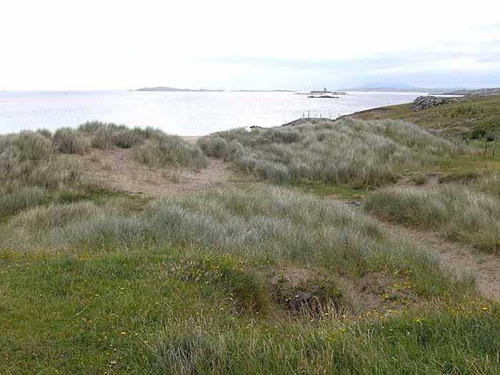
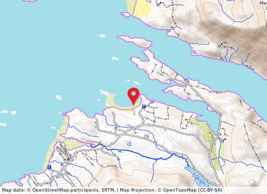
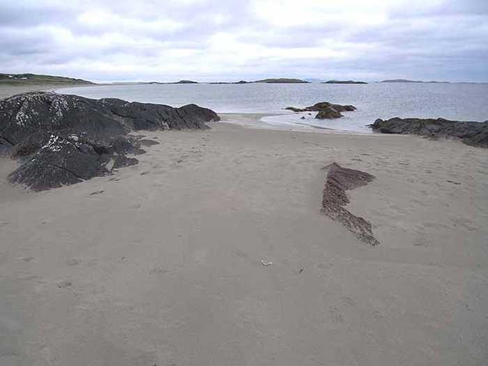
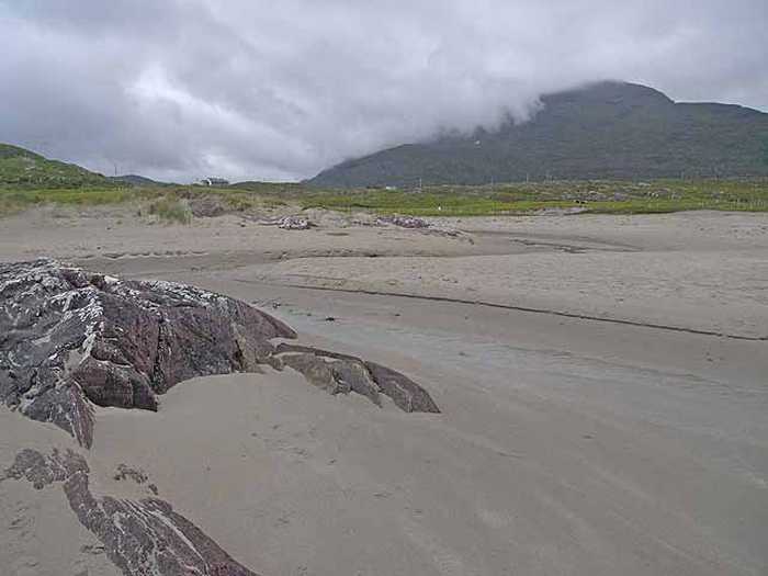
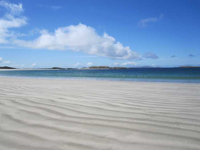
Renvyle, also called White Strand or Trá Bán, is a stunning sandy beach in Co Galway, facing north. The area boasts a machair and dune system with marram grass on the upper shore leading down to a white sandy beach. Accessed easily via the local road L1101, the beach is a safe swimming spot and is a vital environmental, educational, cultural, and bio-diverse resource that offers habitat to a diverse range of protected flora and fauna, marine life, and plants. Tullycross, the nearest town/village, is located 1.5km away in a southeasterly direction, with access via the L51023-0 local road. This beautiful beach spans over 700m in length.
Carrowniskey Beach is a vast sandy area with a gentle slope towards the west. This beach is vulnerable to strong currents and rip tides due to its exposed location. It is home to various environments such as sand hills, machair, lagoon-like lakes, and their connected channels. In particular, the Lagoon habitat is of utmost ecological significance. Carrowniskey Beach is part of the Lough Cahasy, Lough Baun, and Roonah Lough Special Area of Conservation (cSAC) and proposed National Heritage Area (pNHA) with Site Code 001529. The bathing space covers approximately 0.8km2 while the beach stretches approximately 1.7km. The designated bathing area's water depth ranges from 0.5m to 5.0m based on tidal movements.
Tránaun Beach, located on Inishturk's south-east coast, is a beautiful and secluded beach nestled in a protected cove. It offers breathtaking views of Mayo and Connemara's mountains and is conveniently located within a short walk from Inishturk Community Centre.
Carrowmore Beach is a beautiful sandy area that includes sandy dune towards the east. However, swimming is restricted in the eastern part of the beach, near Bunowen River and Tulin Beach. Carrowmore Strand is a part of the proposed National Heritage Area and offers activities like surfing, windsurfing, fishing, and more. The bathing area is around 0.3km2 and the water depth varies between 0.5m to 5.0m with tides.
Clifden Beach, near Clifden Town, is a small, secluded sandy beach situated on Clifden Bay, 78kms west of Galway City. Accessible via "The Beach Road," adjacent to Clifden Boat Club and the RNLI Station, the bathing area is separated from a rocky shore and mooring facility by a grassy headland. Visitors can enjoy a tranquil seating area with views of the rocky shore.
Old Head Beach is a sheltered and sandy beach, backed by rocky cliffs and surrounded by Old Head woodland. The beach is located next to the Old Head SAC/pNHA, which is an extreme development of Atlantic oakwood habitat directly adjacent to the coast. Pilgrimages take place at Croagh Patrick, which is nearby. Old Head Beach offers various activities such as swimming, surfing, water skiing, jet skiing, scuba-diving/snorkelling and fishing. The bathing water area is approximately 0.3km2 and the water depth varies from 0.5m to 5.0m depending on tides.
Dumhach Beach is situated on the south eastern shore of Inishbofin Island, featuring a vast expanse of sandy terrain accompanied by machair and dune systems. To preserve the area's integrity, it necessitates conservation and protection measures, such as guarding the marram grass.
Omey Island, a sheltered landmass of about 1 sq. mile, can be reached via Connemara's only subsea road, situated roughly 600 meters offshore from the village of Claddaghduff. Predominantly covered by wind-blown sandy soils, the island boasts an enchanting beach at its northern edge, where one can witness the Atlantic surf rolling and dolphins and choughs frolicking. The island also has an early Christian monastic site. Besides, its core is occupied by Fahy Lough, known for its swans, ducks, brown trout, and the occasional pair of otters.
East End Bay is a sandy beach situated on Inishbofin, off the North West coast of Connemara. The beach has a gentle slope and is bordered by the charming East End Village. It is popular among tourists and locals for swimming, fishing, and, on occasion, wind surfing.
Clare Island Beach stretches from the old pier on the south to the stony shoreline on the north by the Community Centre, with submerged rocks in the northern end. Its proximity to the main harbour results in nearby homes and businesses. The sea cliffs of the northwest, north, west, and south coastline are in Clare Island Cliffs cSAC and pNHA (Site Code 002243). Clare Island also has numerous historical sites to explore. Activities such as swimming, sailing, canoeing, scuba-diving/snorkelling, and fishing are popular.