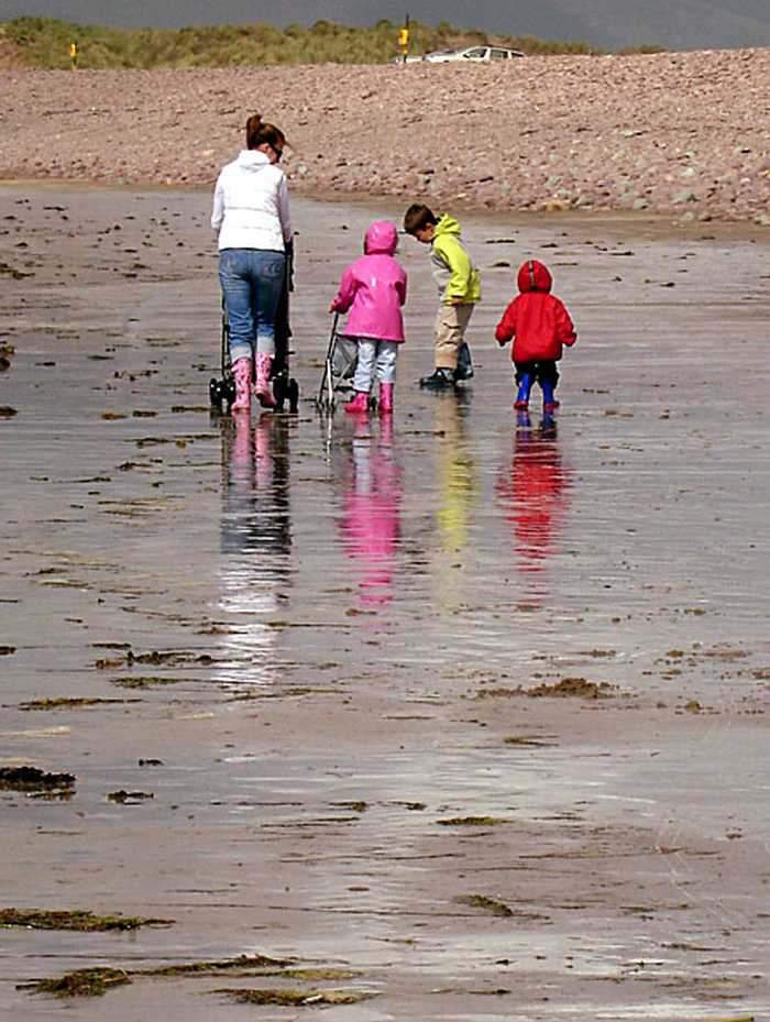
Please help the next visitor by writing a few lines about the beach, are there toilets? Is it shallow? Is there a jetty or maybe a kiosk?
Beaches close to Rossbeigh, White Strand
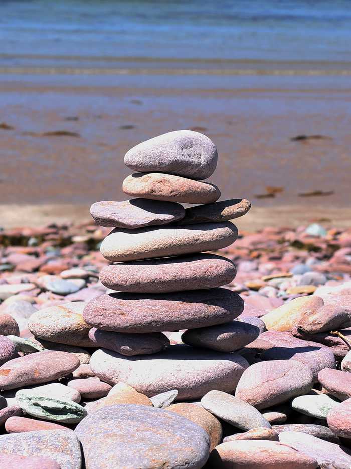
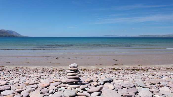
A tranquil pebble beach with a touch of sand, safe shallow waters ideal for kids to swim and paddle. The stunning beauty of the Dingle Peninsula and Inch Beach are visible across the water.
Inch Strand is a west-facing sandy beach that overlooks Dingle Bay and the Atlantic Ocean. The beach's sand dune system houses a diverse range of plant species, with additional salt marsh and mudflat areas providing a habitat for various bird species. Inch Spit is situated within the greater Castlemaine Harbour Special Area of Conservation, and parts of Castlemaine Harbour and Dingle Bay are designated Special Protection Areas for birds and shellfish. Activities on the beach are regulated by the Kerry County Council Beach Bye-Laws, 2013. The identified bathing waters on Inch Spit comprise only 1.4km of the beach's full length of approximately 5km.
Kells Beach is a sheltered small sandy cove, situated in a rocky shoreline inlet surrounded by agricultural lands consisting mainly of grassland and woodland. The adjacent coastal headlands are designated as Special Protection Area, while the hilly region southwest of Kells is a Special Area of Conservation. The identified bathing area, approximately 100 m wide, offers opportunities to enjoy swimming and water sports.
Derrymore Beach, a beautiful sandy beach perfect for walking, can be found just a few miles from Tralee in County Kerry.
Castlegregory Beach is situated in County Kerry on the northern side of the Dingle Peninsula in the South West of Ireland. Its sandy stretch faces north-east and is sheltered from harsh wave activity and south-westerly winds thanks to its orientation and location next to the Maharees Peninsula. It is a well-known destination among bathers and walkers, with public car-parking and seasonal public conveniences available in close proximity to the bathing area.
Cúas Crom Beach, located in Caherciveen, is a popular spot for swimming with little to no currents in the sheltered cove. Despite its stony beach, the water is warm and clear. The beach hosts an annual Christmas Day Swim and is adjacent to excellent walking routes towards Knocknatobar Mountain, Dolus Head, Ballycarbery Castle, and the historical stone forts of Cahergal and Leacanabuaile.
Maharabeg Beach is a sheltered, sandy beach facing east/south-east into Tralee Bay, located on the Maharees Peninsula. Its fixed marram-dunes support a variety of vegetation, including coastal grassland. The catchment area falls within the Tralee Bay and Magharees Peninsula Special Area of Conservation. Popular activities at the beach include swimming, angling, and water sports. The bathing area, which is around 700m long, is situated on the eastern side of the peninsula.
White Strand is a small sandy cove facing west, approximately 450m long. It is protected from the Atlantic's waves by Beginish Island. The surrounding land is mostly used for farming and consists of grassland. The area, including Valentia Harbour and the beach, is designated as Special Area of Conservation, while the land south of the beach is designated as Special Protection Area. Visitors enjoy windsurfing, canoeing, and fishing. Kerry County Council has restrictions in place for certain activities under the 2013 Beach Bye-Laws.
Fenit Beach is a south-facing, sheltered sandy beach with a concrete promenade along its length. Vegetation is scarce on this beach, and there isn't any significant vegetation in the water either. The beach is located near Tralee Bay & Magharees Peninsula Special Area of Conservation and offers activities such as walking, swimming, sailing, surfing and angling. With a width of approximately 160 meters, Fenit Beach is a perfect place to enjoy water sports and outdoor activities.
Fionntrá beach is protected from the elements, facing east/southeast onto Cuan Fionntrá, an inlet of Dingle Bay. The sandy beach is surrounded by sand dunes covered with marram grass and wetland and grassland beyond. Kerry County Council regulates activities according to the Beach Bye-Laws of 2013. Fionntrá is situated in the South Western River Basin District and is about 7km west of an Daingean.